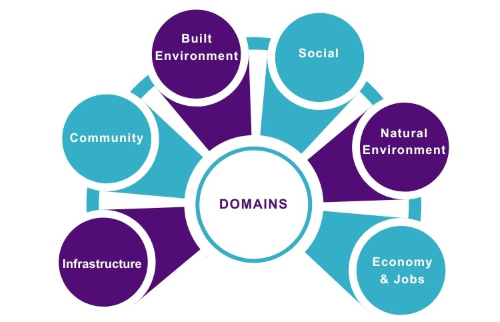
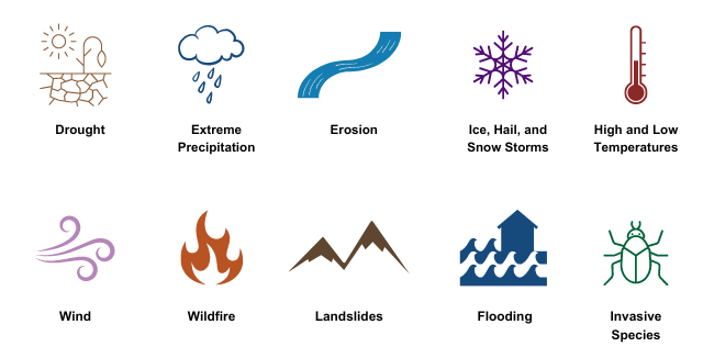
The Municipal Vulnerability Indicators Tool (MVI) is a mapping tool to help municipalities understand their vulnerabilities to climate change across several social, economic, and environmental factors. The MVI can help Vermont communities identify where climate change is placing pressure on transportation, electrical grid, housing, emergency services, communications infrastructure, and more. It can inform towns’ hazard mitigation plans, local energy plans, or other climate-related efforts. It includes both climate hazard data (for hazards where mapping is feasible), and community characteristics that could indicate vulnerability to climate hazards.


